
Our Research Protecting community groundwater security: Network-based planning for data centers in water-stressed India
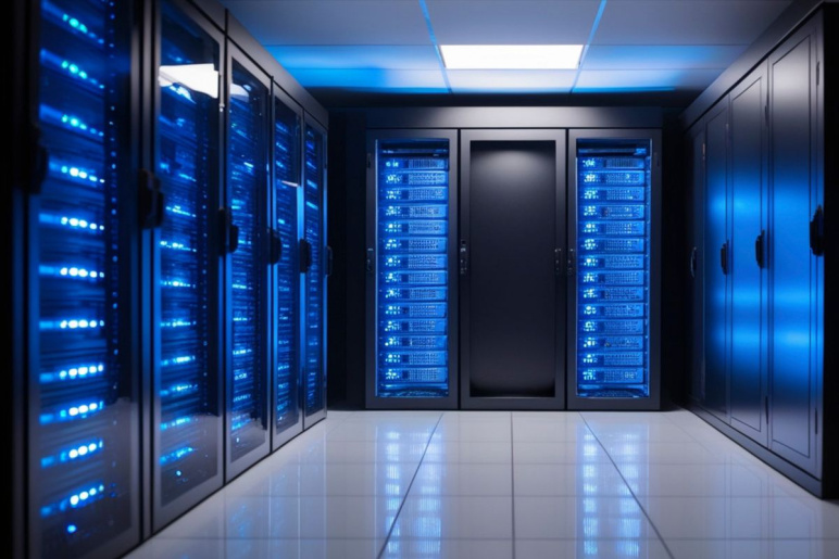
In India, data center capacity will grow 77% by 2027, with most facilities planned for high water-stress areas where aquifers support intensive farming.
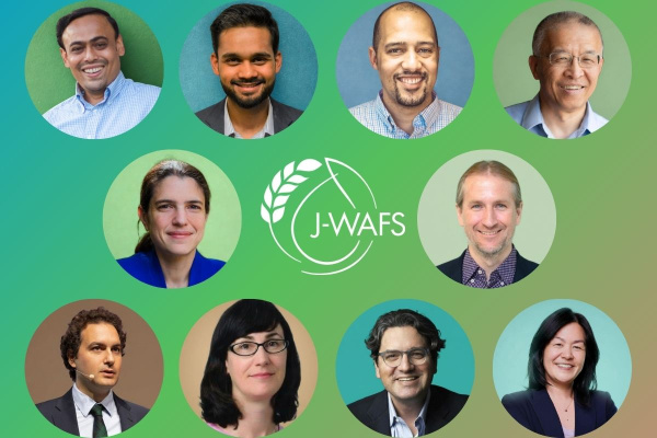
Principal Investigators


Challenge:
As data centers expand rapidly into water-stressed regions, how can we evaluate the tradeoffs between industrial growth and existing usage of groundwater that communities depend on for farming and drinking water? Which siting and policy choices allow economic development while protecting water security?
Research Strategy
- Build a network model of how groundwater moves through connected underground basins, combining satellite measurements with ground-based monitoring data to track how water use in one location affects availability in neighboring areas
- Develop planning tools to weigh data center water needs against farming and city water demands, comparing options such as coastal sites using seawater, urban sites reusing treated wastewater, and inland sites matched to natural water replenishment rates
- Design practical policies such as where facilities can be built, water pricing, and permits to guide datacenter development in locations that protect community water supplies
- Work with stakeholders to test the findings and policy recommendations that water agencies can actually use
Project description
Rapid data center growth is intensifying competition for groundwater serving agriculture and cities in water-stressed regions. In India, data center capacity will grow 77% by 2027, with most facilities planned for high water-stress areas where aquifers support intensive farming. A single large facility consumes water equivalent to a city of 30,000-50,000 people, competing directly with irrigation. Recent announcements have triggered farmer protests over water diversion from agriculture.
This project aims to develop a network-based planning framework coupling groundwater dynamics with multi-sector optimization to evaluate tradeoffs from data center siting decisions on agricultural water security. The team will: (1) create a validated groundwater-agricultural model using satellite observations and monitoring data; (2) develop optimization tools balancing data center deployment against food production through economic valuation across competing uses; and (3) design implementable policies guiding developers toward sustainable locations.
Deliverables include simulation and decision-support tools, and policy recommendations. By quantifying food security implications of infrastructure decisions, this project hopes to enable evidence-based policymaking. The framework extends to other water-intensive industries and regions, addressing J-WAFS' mission on global water and food systems challenges.
Additional Details
Impact Areas
- Water
- Climate & Sustainability
Research Themes
- Water Resources & Infrastructure
- Sustainability & Adaptation
- Economics, Policy, & Practices
- Modeling & Data Analytics
Year Funded
- 2026
Grant Type
- Seed Grant
Status
- Ongoing